All the beer and whisky writing I’ve been doing lately has inclined me to write another post about my outdoorsy pursuits in Scotland. I’m not always in the pub draining pints of ale and sipping drams of whisky – before that happens I’m usually out in Scotland’s beautiful landscapes taking in the scenery and working up a sweat.
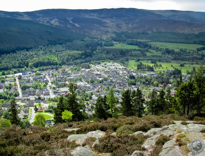
The Cairngorms National Park is full of such opportunities, and Craigendarroch Hill in Ballater is the perfect half-day jaunt. The hill forms the northern edge of town and it’s surprisingly tall, alone as it is. The River Dee gives its name to this area of Scotland – Deeside – and the river hugs the pretty little town of Ballater against Craigendarroch Hill, which makes a gorgeous setting ripe for excellent views. Craigendarroch means “hill of oaks” and it’s a popular walk in the area.
Sarah and I woke up to our last day in Deeside before moving our base to Nethy Bridge on the western side of the Cairngorms, and we couldn’t leave without besting Craigendarroch. We walked north through town looking for an ascent and finally managed to get on the right track with the help of a friendly woman out walking her dog. There are signs providing direction to Craigendarroch’s paths, we just missed them (more on this later).
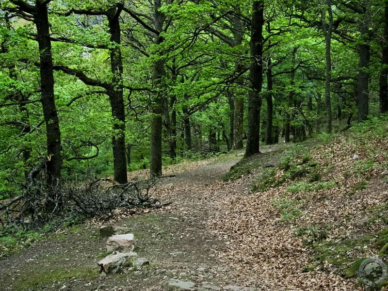
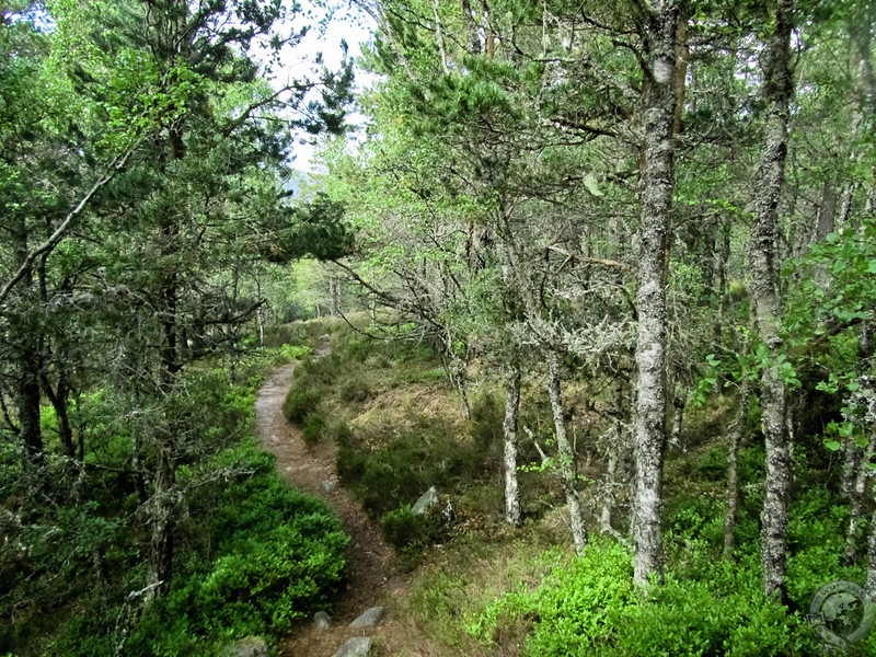
Our ascent began on the southern slope of Craigendarroch. The lower stretches were lightly populated with old oaks and pines with wide, leaf-covered paths running among the trunks. The air was cool beneath a partly sunny sky. The sunlight turned the tree boughs into a primordial glowing, green ceiling.
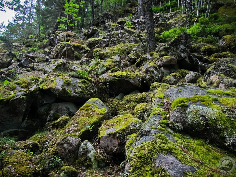
We came to a crossroads with a sign after about 15 minutes of hiking that indicated we could circumnavigate the hill around the base, which would make for a leisurely stroll, or continue up to surmount the hill. We wanted the views from the top and chose option B. The path narrowed as we dodged fallen trees, and before long we came to the rocky top half of the hill that required a greater vertical ascent. A slew of old stones in the process of being reclaimed by the earth made the terrain incredibly rough, and Sarah and I were out of breath and sweating halfway up the rocks.
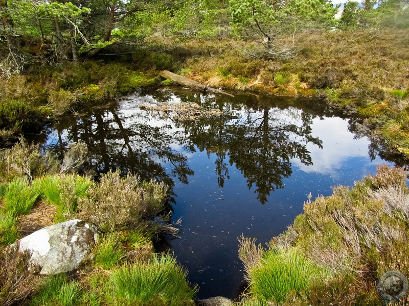
After much struggling, we cleared the rocks and rejoined a young woodland just below the crest of the hill. The terrain started clearing up and we could see that we were several hundred feet above town. A small pool of water stood on the heather and gorse, and Sarah made a wish at this “faerie pool.”
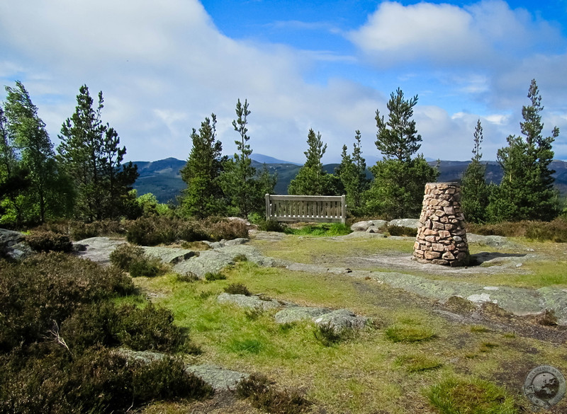
Crossing the spongy ground on the crown of the hill, we found a bench and a neat cairn, not to mention awesome, clear views of the Dee valley. I’ve seen cairns on the tops of many hills on my travels around Scotland, and I had to look up what it meant. I knew that cairns had historically been used as a type of grave, but it turns out that in Scotland it’s customary to carry a rock from the bottom of the hill to the top and place it on the cairn. It’s a cool factoid that I’ll definitely remember for future hikes.
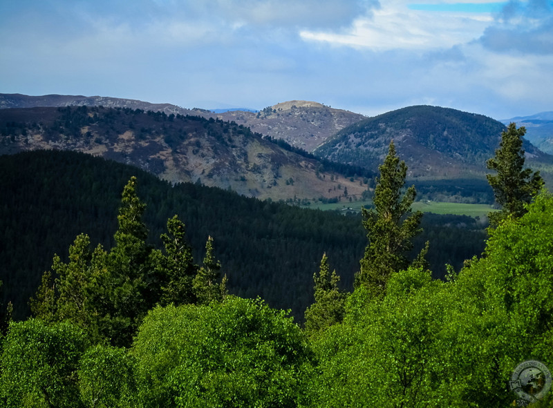
The clear skies and amazing light gave us unimpeded views of the hills and mountains around us. If you’re a reader of my Trackpacking series, this would be the perfect place to crank up the soundtracks edition.
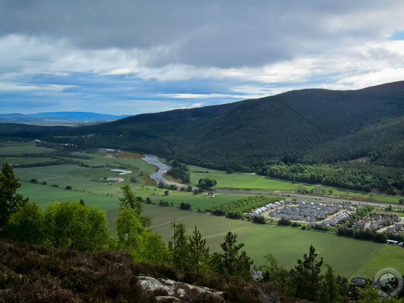
The wind gusted and shrieked, drying sweat and cooling us down. Looking south, all of Ballater spread out almost 1,000 feet below us. With protective hills on either side and a fresh river flowing through the valley, it’s clear why Ballater is sited where it is.
To the southeast, the River Dee continued its course toward Aberdeen. It’s very hard to leave a spot like this with the fresh, cold wind blowing and the buzz of accomplishment. I can see how munro bagging might be an attractive hobby. Alas, our time soaking in the views was over and we needed to head back to town.
A different path snaked down the western slope of Craigendarroch and it proved to be a much easier way than the one we’d chosen to ascend. At the bottom of the hill we found signs and markers to aid in climbing the hill. If you’d like to climb Craigendarroch, be sure to approach the hill from it’s southwestern slope. Unless, that is, you’d like a far more strenuous climb.
Deeside and Ballater are beautiful places, and a hike up Craigendarroch really puts it all in perspective, amplifying, if anything, this naturally stunning part of Scotland.

I love every photo in this post! You have a great eye, Keith. Thank you for the beauty!
My pleasure. I can’t stress it enough, but sights like those in this post are COMMON everywhere in Scotland.
Well, then Scotland HAS to be our next vacation~whenever I can plan a special trip with Mark! But I must commend you on your eye for composition in your photography. You capture the best of what it offers in my opinion. : )
Amazing. Such a beautiful area. I fully agree with Pat on your eye and photography.
Wow what a beautiful hike!