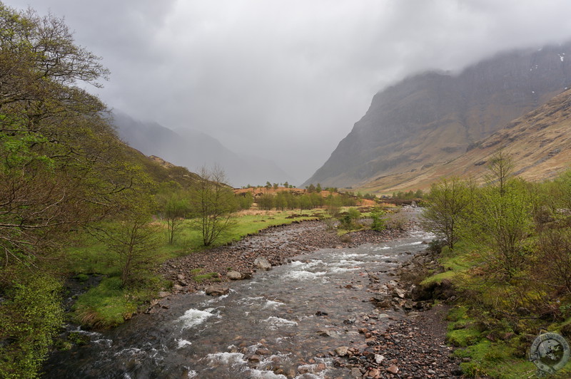
Glencoe is one of the most beautiful glens in all of Scotland, and that’s saying something. Tucked in the west highlands just south of Fort William, Glencoe is an easy visit as the main highway shoots directly through its heart. There are several pull-offs and small parking lots to make soaking in nature’s grandeur a piece of cake, and this is how I admired Glencoe the first several times I visited. But there’s a lot more to Glencoe than the impressive visitor center and the span you can see along the road, and this post will give you a look at what you’re missing if you don’t leave the car.
There are many hikes you can make in the valley of Glencoe. The most well-known is probably the taxing hike up into the Lost Valley, but there’s another, more accessible one that begins just off the A82: Signal Rock and An Torr. So pop in your earphones, turn on Bear McCreary’s Dance of the Druids, and follow me as we hike the forested hills of Glencoe.
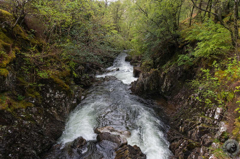
The starting point for this hike is just off the A82 at the bend where it turns from south to east (if you’re coming from the north). A small drive leads down into a parking lot, and from there you’ll find a trail leading into Glencoe’s wilds. Follow the trail across a bridge spanning the River Coe to an informational board from the National Trust for Scotland outlining the three interconnected trails. The blue trail leads up to Signal Rock, the black trail wends through the heart of the An Torr woodland, and the yellow trail leads over to the Clachaig Inn. I suggest you link all of them up for a hike lasting a good 1.5-2 hours.
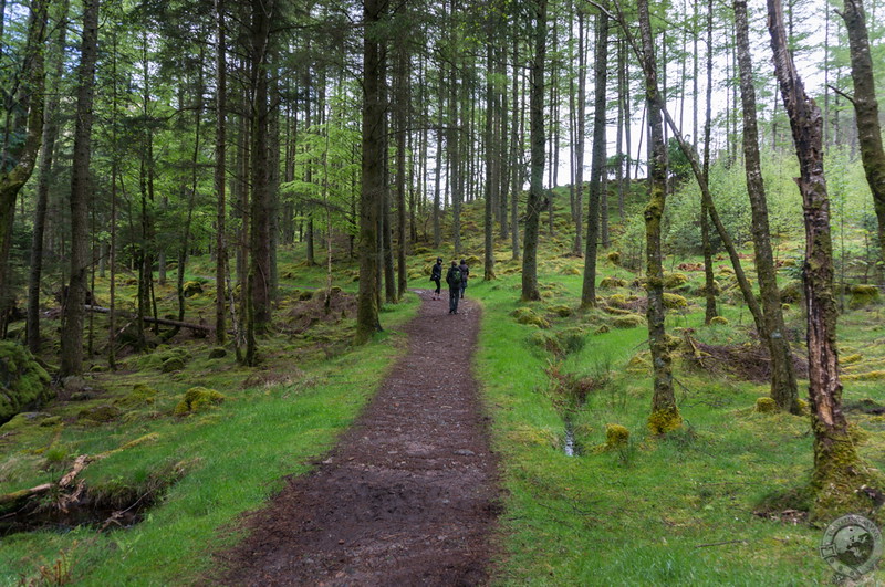
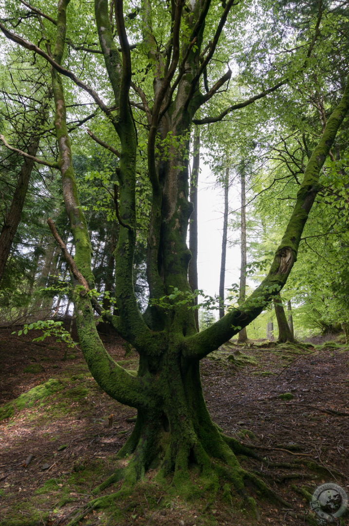
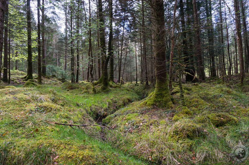
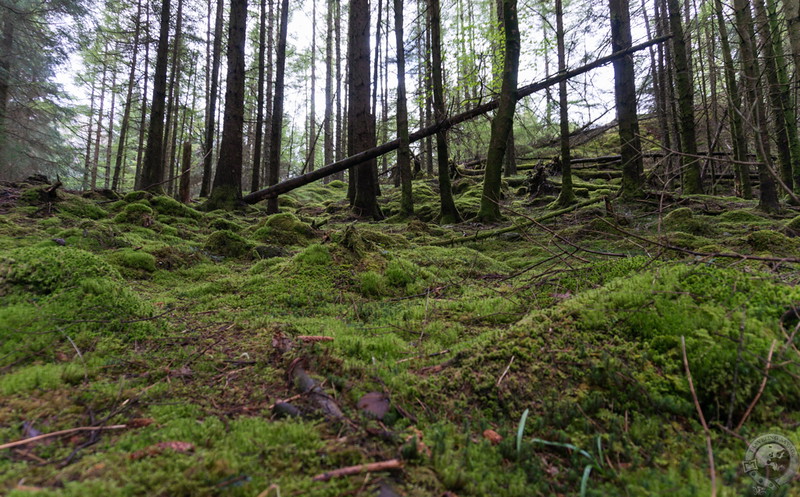
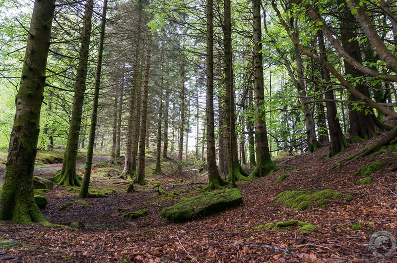
Upon crossing the river we found ourselves in lush, coniferous woodland dominated by moss-covered trunks and loamy turf. The rain comes and goes, leaving a thick mist in its wake that curls around the boughs above the path. As we press deeper, I can feel the power in the earth. Gargantuan, multi-trunked trees thick with moss and lichen rear up to either side, and I am reminded of The Old Forest that lies to the east of Buckland.
What little road noise coming from the A82 is swallowed by the forest. The air is cool among the roots of the trees, and we hike with renewed invigoration as the rain dies off and beams of sunlight flash into the undercanopy. The path has been very easy so far with little elevation.
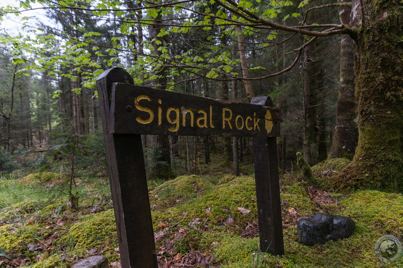
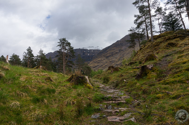
Eventually we come to a sign for Signal Rock and begin a gentle ascent up a soft, mossy hillside. Called Tom a’ Ghrianain, Hill of the Sun, in Gaelic, myths and legends abound here. History shows it was the gathering place for the MacDonalds of Glencoe in an emergency. It’s possible the site has been used to light beacons of warning, and some even believe it was here that the signal was given to start the infamous massacre on February 13, 1692. More likely, however, is that its name has more ancient roots. As it is the hill of the sun, it may have been a place of pagan worship where people came to pay tribute to their archaic gods.
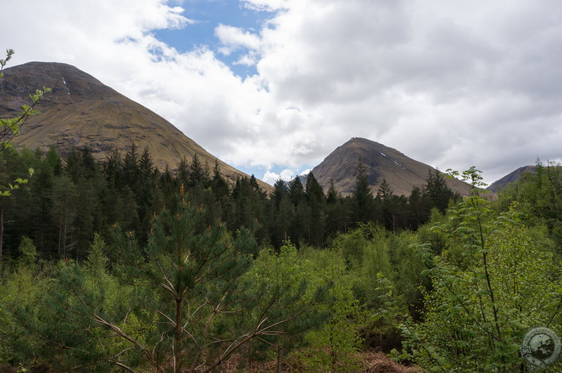
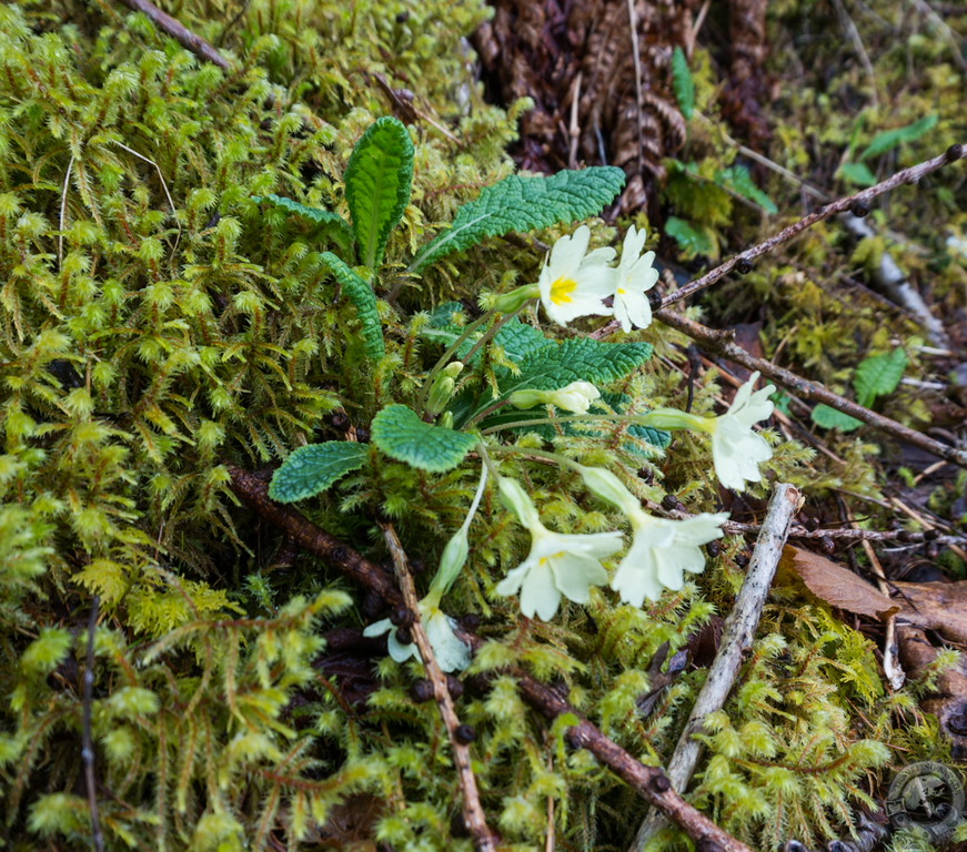
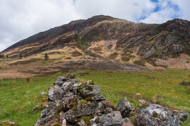
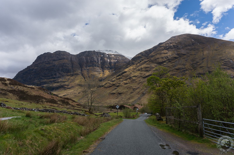
Signal Rock provides stunning views of the sisters of Glencoe. Sun raced across the hilltops before the scudding clouds as we inhaled snow-cold air drifting down from the peaks. At many points along this hike I bent down to capture a closer look at the riot of detail and vegetation covering every scrap of land. Tiny ferns, lichens, mosses, flowers, bracken, mushrooms, the rot of fallen logs, last year’s leaves and sticks — such a rich tapestry of flora.
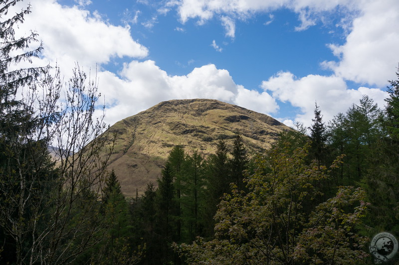
Leaving Signal Rock, we backtracked to where the black and blue trails intersected and continued into An Torr. Looming above us stood the snow-capped hilltops surrounding Glencoe, and not for the first time I found myself questioning the tales of yore. Perhaps this was a land of giants.
The An Torr is dense woodland largely free of underbrush, a characteristic I deeply appreciate given the acres of brambles that cover my own woods back home. The brownish-red of last year’s leaves creates a canvas upon which the emerald mosses leap out at you. Hiking in Scotland, and especially here, is a feast for the senses. Our path led us through shadow and sun, past a hillside spilling shattered quartz upon the trail, and out into big sky.
When our path connected with the yellow trail we followed it to the Clachaig Inn. The weather had cleared up significantly and provided us with views of the Three Sisters of Glencoe intermittently hung with mist and spotted with sun. The Clachaig Inn is a tidy, perfectly-sited place for refreshment after a good hike. I enjoyed a pint of cask ale with my highland game pie, which was a delicious melange of deer, partridge, rabbit, and pheasant with juniper, gin, and blackberries.
There’s no better way to spend a day in the west highlands.

Beautiful pics! Where did you stay to access these trails ?
I stayed for a week at the Eco Pods in nearby Appin. It was wonderful!
[…] this is a post about casual hikes, Signal Rock and An Torr is the perfect choice in Glencoe. From a small parking lot in the glen the trail leads across the […]
Keith, is there any way you can tell me if these trails are how you get to the Ralston Cairn ? I’ve been reading so much about it and would love to see it, but there isn’t much detail on how to get there. Any help you can provide would be greatly appreciated, thanks !!
Hi Mary. This hike is a very easy, low-level hike through Glencoe. Ralston Cairn is much higher up in the Glencoe terrain. The Pap of Glencoe might be the right hike to look for.
Thanks!! I’d love to see both of these when I go, and I love your pictures !!
My husband and I are making plans for our trip to Scotland later this year, and we want to finally hike/walk in Glencoe. He found a possible hike, and I said, “I’ll see if the Traveling Savage has written about it!” Sure enough. 🙂 The forests look lovely, and I’m already planning on ordering the Highland Game Pie afterwards! Your site is very helpful; I’ve been browsing it since 2015 but didn’t realize/remember you’re from Wisconsin also.
Hi Beth. Glad you’re finding the site helpful. Thanks for reading!