Dumfries & Galloway occupies a huge portion of southwest Scotland. From the Rinns of Galloway in the west to the southern uplands almost as far as Hawick in the east, and from the Solway Coast north to elevated Sanquhar and the border with Ayrshire, this area escapes the notice of many visitors. It lies tucked to the south of Edinburgh and Glasgow and to the west of the English border, so it wouldn’t be a surprise to learn that most people arrive from Northern Ireland on the ferry to Stranraer. As off the beaten path as Dumfries & Galloway is, it boasts one peninsula in particular that sees even fewer hardy souls: The Machars.
The Machars peninsula juts into the Solway Firth south of the main A75 road, which essentially cuts it off from many visitors’ serendipitous ramblings. It is a low-lying, rolling plain with loads of coastline and an interior mainly used for sheep and dairy cattle. Much like Orkney, Fife, and the Borders, I’ve found that it’s just this type of place that makes for a great day out exploring.
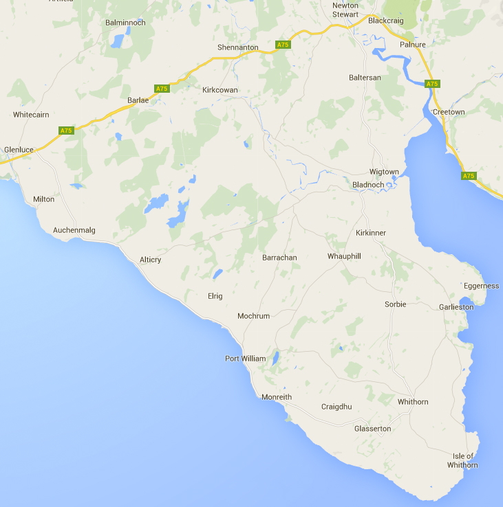
The town of Newton Stewart is an ideal and logical place to begin this journey around The Machars. Head south on the A714 toward Wigtown.
Torhouse Stone Circle
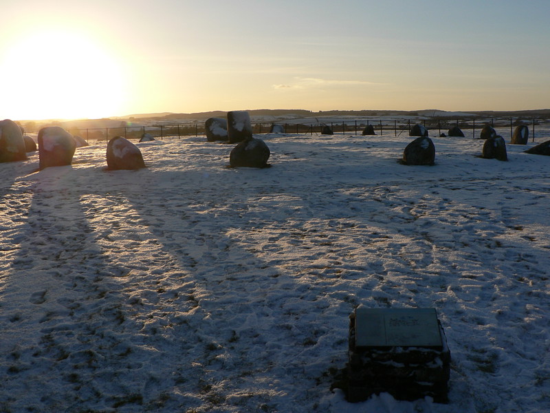
Before you get to Wigtown, cut over to the B733 and look for signs to the Torhouse Stone Circle. This ancient circle is twenty meters in diameter and composed of 19 boulders that together represent one of the best preserved stone circles in Scotland. While not fully excavated, archaeologists estimate the circle dates from the Bronze Age — 4,000 years ago — and it is aligned to the winter solstice. The circle’s original purpose is lost, but it serves to fire the imagination even four millennia later.
Wigtown
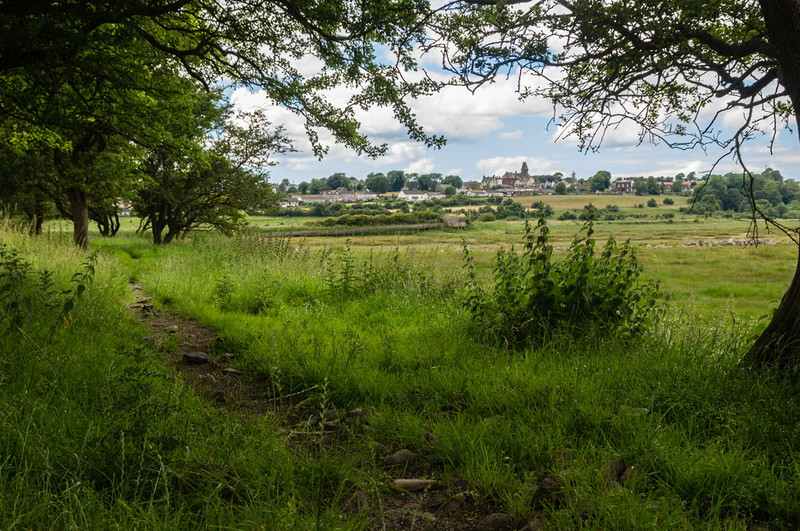
Follow the B733 into Wigtown, The Machars’ primary town. The village stands on mud-flats overlooking a sandy bay, and is known for being Scotland’s National Book Town. This is a quiet place good for a stroll or fueling up for the journey ahead. Nearby Bladnoch Distillery recently closed (again), but you can bet it will be up and running again in the near future.
Cruggleton Castle
Follow the A714 to Bladnoch and continue south. The road becomes the A746. Follow it for a short time before taking the B7004 to Garlieston, then continue south until you reach the B7063 just after Whithorn Lodge. Take it and go south. You will mirror the coast before coming to Cruggleton Farm. At this point you will need to proceed on foot (it helps to have an OS map here) to the ruins of Cruggleton Castle (you can also access it from the grounds of Galloway House). Truth be told, it’s not much to look at — just a grassy arch that was part of the barrel vaulting of the tower — though the remnants of the curtain wall lie beneath the rumpled grasses. In older times it was known as “The Black Rock of Cree,” and its rich history is the better part of its remains.
Isle of Whithorn and St. Ninian’s Chapel
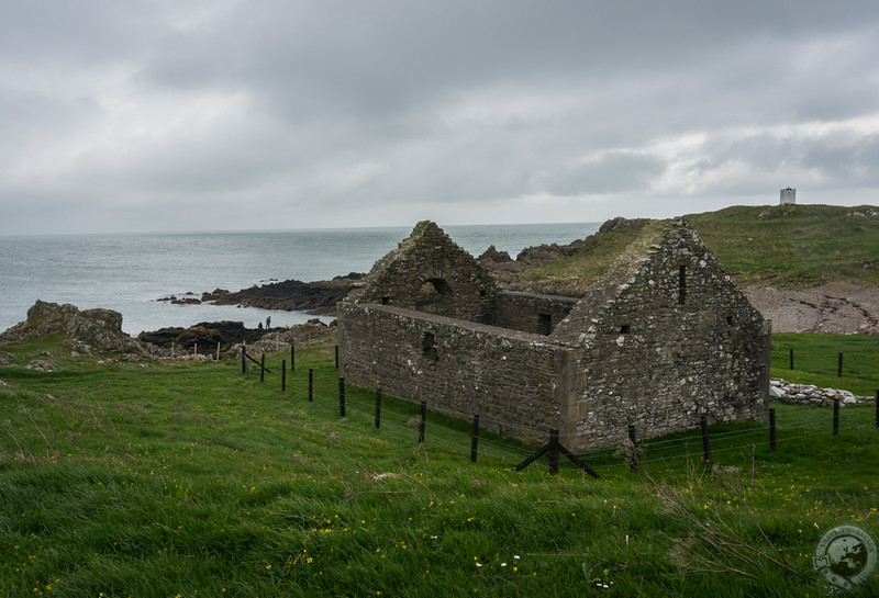
Continue south on the B7063 to Isle of Whithorn, the southernmost point on your journey around The Machars. This pretty, little town nestles along rocky coastline and is home to St. Ninian’s Chapel. St. Ninian is associated with many places in Scotland but Isle of Whithorn above all others. He converted the southern Picts to Christianity, and the chapel that stands here today dates from the 12th or 13th century, though it was repaired in the late 19th century by the Marquess of Bute.
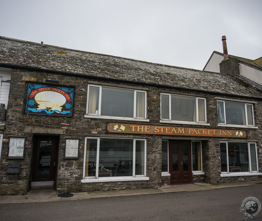
Isle of Whithorn’s history is long and storied. It’s believed that Pliny the Elder and Ptolemy had names for it, and over the centuries it became the perfect place for smugglers to shelter. This was also the port for the Countess of Galloway, a steam packet ship that traveled the coast of Britain — hence The Steam Packet Inn which stands in the center of town. Stop here for a pint of real ale and fear no regrets.
St. Ninian’s Cave
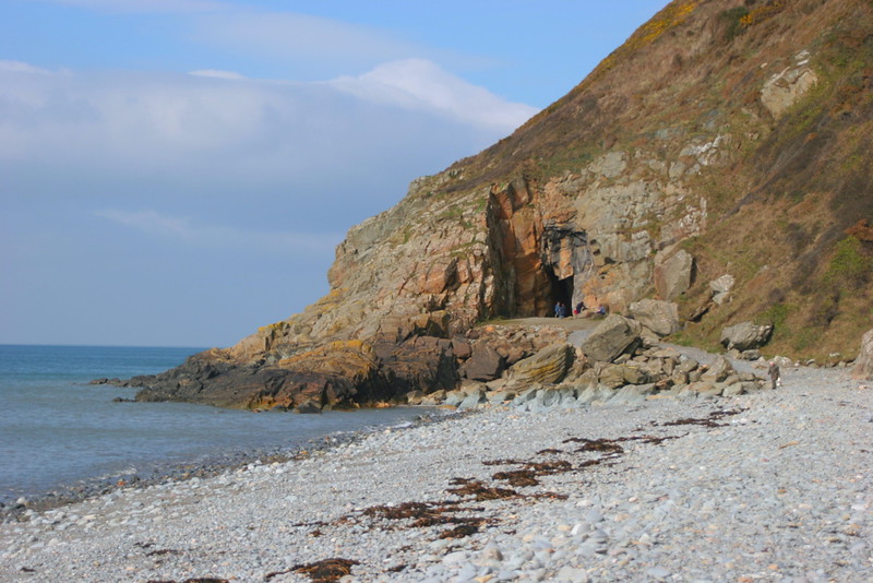
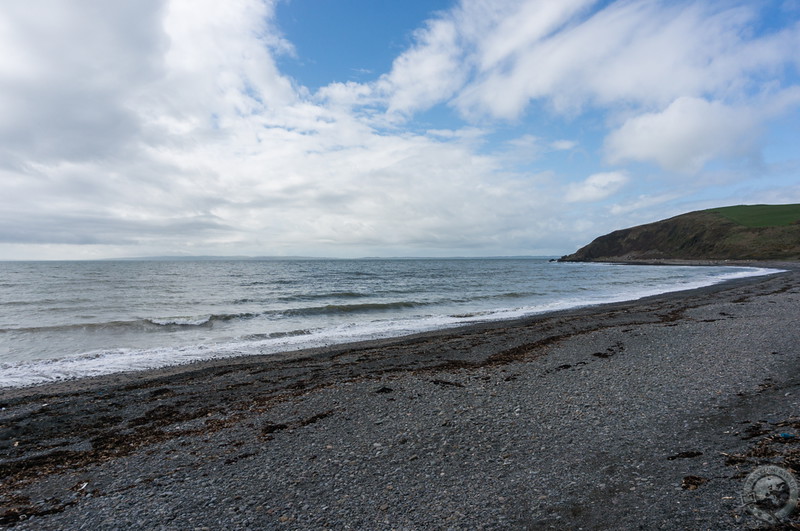
St. Ninian’s Cave, which is believed to be the site of St. Ninian’s hermitage, is a 4.5 mile hike along clifftops from Isle of Whithorn. The path takes you to Port Castle Bay and a stony beach, at the end of which lies the famous cave. Excavations in 1950 revealed 18 early Christian crosses, including some that had been carved into the cave walls. The cave remains a pilgrimage site today, so don’t be surprised to find companions on this journey.
Barsallach Point
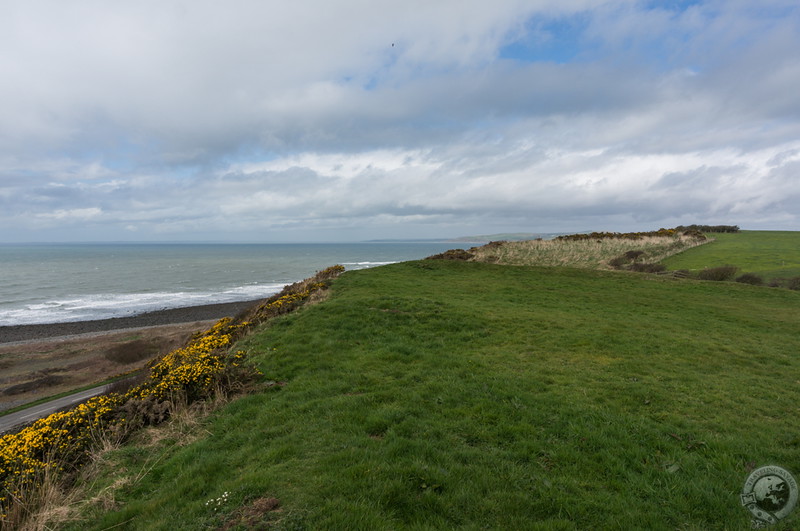
Regain your vehicle and take the B7004 northwest to Glasserton and the A747. This road runs across country to The Machars’ west coast, and just after Monreith you reach Barsallach Point. Stop in the car park and cross the road before ascending steps to the top of the hill. On the bumpy grass are the hidden remains of a fortified farming settlement from the Iron Age. A ‘D’ shaped ditch and bank would have surrounded four or five houses, and the occupants would have farmed and raised livestock. This site is far older than that however, as flint blades from 6,000-8,000 years ago have been discovered.
Continue up the A747, past Port William, and back to the A75. Your journey around The Machars has concluded, but you are near beautiful Glenluce Abbey, so why not make one last stop before returning home? Give yourself a pat on the back. You’ve just seen one of Scotland’s hidden corners.
Photos via Flickr/Creative Commons: Torhouse Stone Circle (rickycosmos), Wigtown (lesdunford), and St. Ninian’s Cave (johnspooner)

Hi
You are so right that many people don’t visit this lovely area! When I stayed there for the first time it really was an eyopener! Would highly recommend a stay!
It was a pleasant find, that’s for sure!
To me, it’s one of the a hidden places to escape in the world. Not much popular but has a combination of lush green, sea-side beach and rustic or vintage flavor!